
Historic Spanish Record of the Conquest, South Side of Inscription Rock, N.M.
Curatorial Overview
“Following the end of the American Civil War, the United States Congress sponsored several major expeditions to chart the western lands, still largely unknown in terms of geography and resources. Such surveys brought together scientists, topographers, and photographers to document their findings. In 1871 Timothy O'Sullivan, who had proven his proficiency in field photography during the war and on an earlier western expedition, was asked by George M. Wheeler to join a government survey of lands west of the 100th Meridian. Survey objectives included achieving a more precise record of the U.S.-Mexico border and studying rocks and plant life, as well as facilitating future commercial development. Factual and blunt, yet sophisticated in composition and often unexpectedly self-referential, O'Sullivan's pictures have intrigued modern viewers. In this image of Inscription Rock in modern New Mexico, which bears the chiseled record of the passage of a Spaniard centuries earlier, he slyly puns on the word "ruler" and suggests perhaps that his own recording equipment can measure and surpass the record of that earlier conquest.”
More by Timothy O'Sullivan
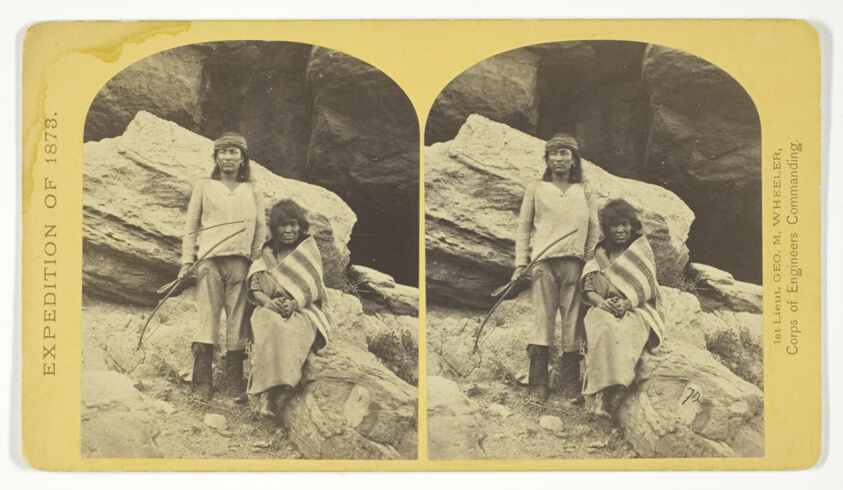
Navajo Brave and his Mother. The Navajo were formerly a warlike tribe until subdued by U.S. Troops, in 1859-60. Many of them now have fine flocks, and herds of horses, sheeps and goats, No. 29 from the series "Geographical Explorations and Surveys West of the 100th Meridian"
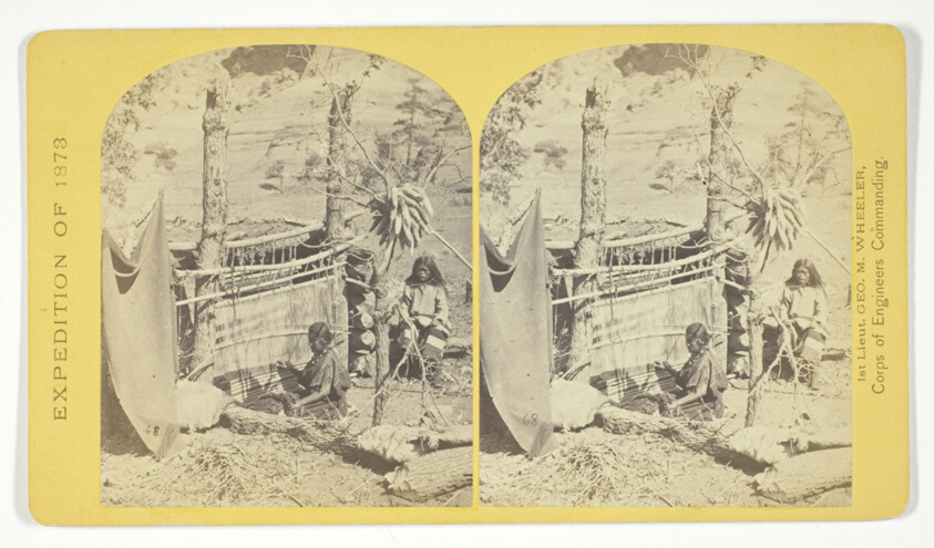
Aboriginal life among the Navajo Indians, Cañon de Chelle, New Mexico. Squaw weaving blankets. The native loom. The blankets made are of the best quality, and impervious to water, No. 26 from the series "Geographical Explorations and Surveys West of the 100th Meridian"

War Chief of the Zuni Indians, No. 20 from the series "Geographical Explorations and Surveys West of the 100th Meridian"

Coyotero Apache Scouts, at Apache Lake, Sierra Blanca Mountains, Arizona. Two members of the Expedition in the back-ground, No. 31 from the series "Geographical Explorations and Surveys West of the 100th Meridian"
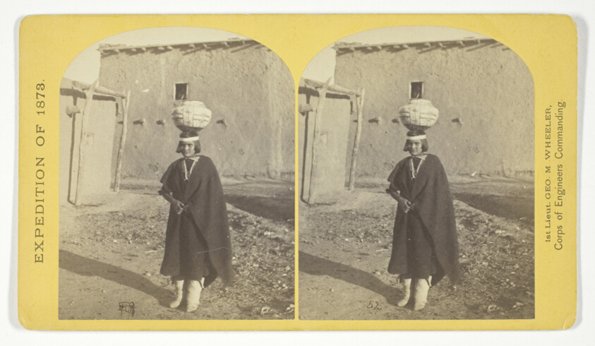
Zuni Indian Girl, with water olla, No. 17 from the series "Geographical Explorations and Surveys West of the 100th Meridian"

Cooley's Ranch, 10 miles east of Camp Apache, Arizona. A characteristic mountain "Park" and Apache Indian Farm. Here the Apaches grow corn, wheat and a few vegetables, No. 32 from the series "Geographical Explorations and Surveys West of the 100th Meridian"
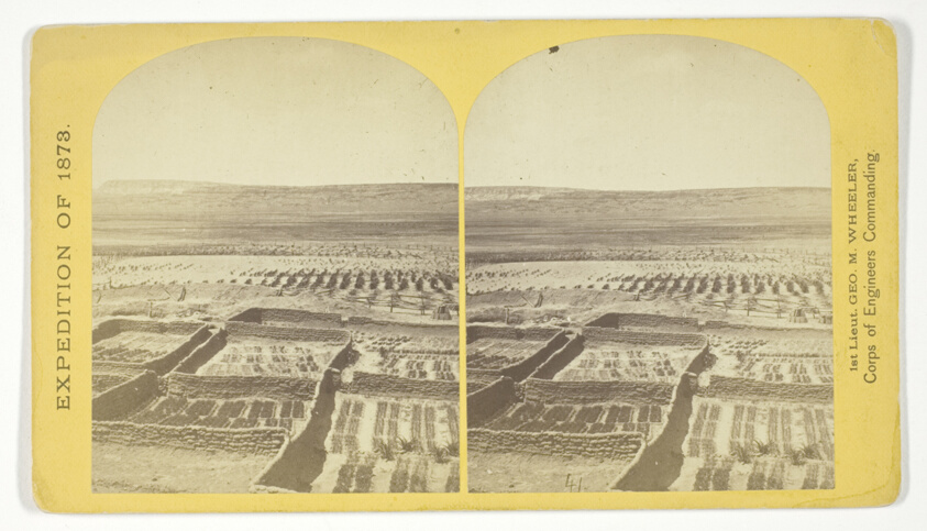
Gardens surrounding the Indian Pueblo of Zuni, in which are raised a variety of vegetables, such as peppers, onions, garlic &c, No. 18 from the series "Geographical Explorations and Surveys West of the 100th Meridian"

Apache Lake, Summit of Sierra Blanca Mountains, about 35 miles east from Camp Apache, Arizona, and 10.500 feet above sea-level. This lake is similar to many found in the western mountains, No. 30 from the series "Geographical Explorations and Surveys West of the 100th Meridian"
Continuing the Universe of Timothy O'Sullivan American, born Ireland, 1840–1882
19th century • United States • Harmonious Works & Contemporaries